The Haute Randonnée Pyrénéenne (HRP) is a long-distance footpath in the Pyrenees.
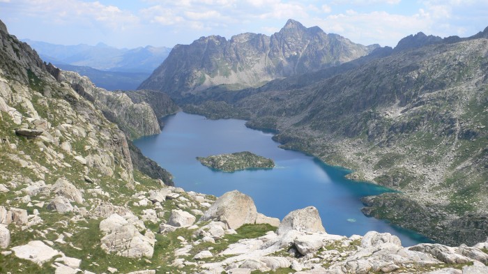
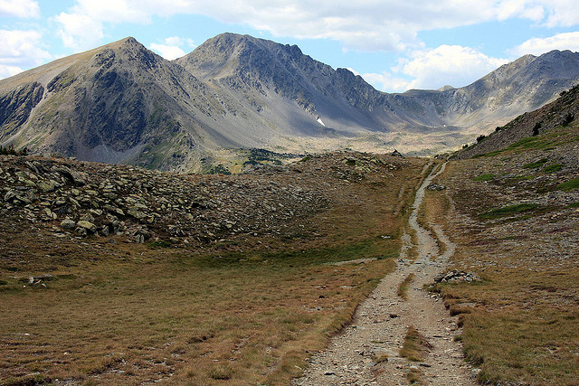
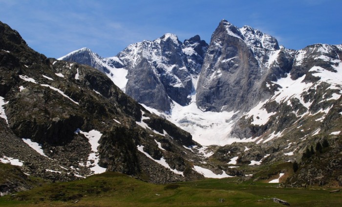
Like the GR 10 and the GR 11, the path travels the length of the Pyrenees from coast to coast. However, where the GR 10 and GR 11 stick mainly to lower routes and mountain passes on the French and Spanish sides of the border respectively, the HRP follows a high course through the mountains, frequently crossing the border to follow the highest walkable route. It is an unmarked trail, usually done from west to east, which takes about 45 days to complete for an average hiker. It crosses the Parc National des Pyrenées and the Parque Nacional dels Aigues Tortes i Sant Maurici. In the early 90s, it was necessary to carry a tent on the trail, but these days there is a better network of huts and shelters. Many variations on the original route are possible and described in the guidebook, as well as some easy summits (Aneto, Vignemale). There are some popular and crowded places on the trail, but also very remote areas, where it can take a day before you see someone. The HRP crosses the Santiago-trail on the Col d’Ibañeta, near Roncevaux. Even in frequently visited areas like the Parque Aigues Tortes, there is often no cellphone-network.


